If you live in Murfreesboro and you have not thought seriously about flood risk, you are living in one of Middle Tennessee’s most flood-active watersheds without a plan. The Stones River flooding Murfreesboro TN Watershed covers 556 square miles of Rutherford County. The city sits at the confluence of the West Fork and East Fork Stones River. Major flooding events have struck Murfreesboro in 1902, 1944, 1945, 1948, 1955, 1963, and 1975 — with peak discharges exceeding 20,000 cubic feet per second during the worst events. And that history predates the enormous population growth that has added tens of thousands of impervious surfaces to the watershed since 2000.
This guide explains where Murfreesboro floods, which neighborhoods face the highest risk, what your insurance covers (and does not cover), and exactly what to do when Stones River water threatens your property.
How Murfreesboro Floods: The Three Primary Sources
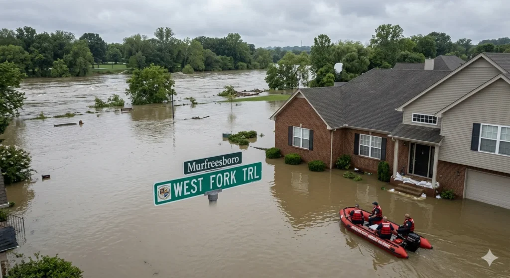
Unlike coastal cities where flooding means one thing, Murfreesboro faces three distinct flood mechanisms — and your home may be vulnerable to one, two, or all three depending on where you live.
1. West Fork Stones River Overflow
The West Fork Stones River runs through the western and central portions of Murfreesboro before joining the East Fork near the Bradley Academy neighborhood. During periods of heavy rainfall — particularly the December-through-April high-risk season — the West Fork rises rapidly due to the watershed’s large drainage area and Rutherford County’s clay-heavy soils, which shed rather than absorb water.
At the Murfreesboro stream gauge, the West Fork reaches flood stage at a level that threatens homes and infrastructure along the river corridor. The city’s floodplain management program designates the river’s 100-year floodplain as Zone AE on FEMA flood maps — meaning there is theoretically a 1% chance of flooding in any given year. In practical terms, homes along this corridor have faced meaningful flood events multiple times per decade.
2. Lytle Creek Stones River flooding Murfreesboro TN
Lytle Creek, a tributary of the Stones River system, runs through portions of central and northern Murfreesboro. Like the West Fork, Lytle Creek rises quickly during intense precipitation events. The creek has flooded residential areas, damaged roadways, and sent water into crawl spaces and basements of homes that are not technically “on the creek” but sit within its drainage catchment.
Neighborhoods near the old downtown square, the medical center corridor, and parts of North Tennessee Boulevard have experienced Lytle Creek-related water intrusion events during major storm systems.
3. Todds Lake Sinkhole Flooding
The most unique — and underappreciated — flood risk in Murfreesboro is the sinkhole flooding problem in the eastern sections of the city. Murfreesboro sits on karst geology: limestone bedrock that has dissolved over centuries to create underground cavities and sinkholes at the surface.
The Todds Lake sinkhole area is the most documented example. During the flood of March 1975, 12 homes on Johnson Street were damaged by sinkhole flooding, with water reaching nearly seven feet deep on the first floor. Unlike river flooding, sinkhole flooding occurs when large natural depressions — with limited outlets — simply fill with water during high-intensity storms. There is no stream to overflow, no visible drainage failure. The ground just collects water and holds it.
Homes in eastern Murfreesboro zip codes should specifically ask about sinkhole flooding history when buying property, and should understand that standard flood insurance may handle this differently than riverine flooding.
Rutherford County Clay Soil: The Hidden Flooding Multiplier

Even homes far from the Stones River or Lytle Creek experience water intrusion during heavy rain events — and Rutherford County’s soil composition is the reason. The dominant soil type across much of the county is classified as a clay-heavy profile that has very low permeability. Water falling during a heavy rain event does not soak into the ground — it runs off.
This surface runoff creates several problems for homeowners:
Foundation hydrostatic pressure: As rainwater accumulates against foundation walls, the hydrostatic pressure increases. Older concrete block foundations common in Murfreesboro’s mid-century neighborhoods are particularly susceptible. Water forces through mortar joints and wall cracks, entering basements and crawl spaces without any visible source of entry.
Crawl space flooding: Many Rutherford County homes have vented crawl spaces that are vulnerable to surface water intrusion during heavy rain. When ground saturation approaches the crawl space foundation level, water enters through vents, piers, and foundation gaps. This water — trapped in a confined, poorly ventilated space at Middle Tennessee’s summer humidity levels — creates ideal mold conditions within hours.
Grading failures over time: Soil settling, landscape changes, and driveway modifications can redirect surface flow toward rather than away from foundations. A home that drained well when built in 1985 may have developed grading problems that funnel storm runoff directly toward its foundation.
Murfreesboro’s High-Risk Flood Season: December Through April
The City of Murfreesboro’s official floodplain management documentation identifies December through April as the most critical flooding period due to frequent, high-intensity storm events. This aligns with Middle Tennessee’s broader climate pattern: while summer thunderstorms can be intense, the extended rain events that saturate soil and raise river levels to flood stage most often occur during the cooler months.
What this means for homeowners:
Prepare your property before December each year. Clean gutters, check downspout extensions, confirm sump pump function if applicable, and verify your insurance coverage is current. If you are in a flood-prone area and do not have NFIP flood insurance, remember the 30-day waiting period — purchasing coverage in November gives you protection by December.
The January-February freeze compounding effect: Rutherford County’s winter flood risk does not end with rainfall. Polar vortex events in January and February can freeze water in saturated ground, then release it rapidly during thaw cycles. The combination of frozen ground that cannot absorb additional water followed by rain events is a particularly high-risk scenario for crawl space and foundation water intrusion.
Is Your Murfreesboro Home in a Flood Zone?
The City of Murfreesboro participates in FEMA’s National Flood Insurance Program (NFIP) and maintains a floodplain management office. To determine your property’s flood zone designation:
- Visit murfreesborotn.gov/2504/Floodplain-Management
- Use FEMA’s Flood Map Service Center at msc.fema.gov to check your address
- Contact the Murfreesboro Floodplain Management office directly
Flood zone designations in Murfreesboro:
- Zone AE: High-risk area within the 100-year floodplain. Flood insurance required by most mortgage lenders.
- Zone X (shaded): Moderate flood risk, between the 100-year and 500-year floodplain. Flood insurance not required but often recommended.
- Zone X (unshaded): Lower risk areas outside the 500-year floodplain.
Importantly, a Zone X designation does not mean zero risk. Approximately 25% of all flood insurance claims nationally come from properties outside the high-risk Zone AE. Rutherford County’s clay soil runoff and sinkhole flooding dynamics mean that Zone X properties can still experience significant water intrusion events.
Flood Insurance vs. Homeowners Insurance: What Covers Stones River Flooding murfreesboro tn
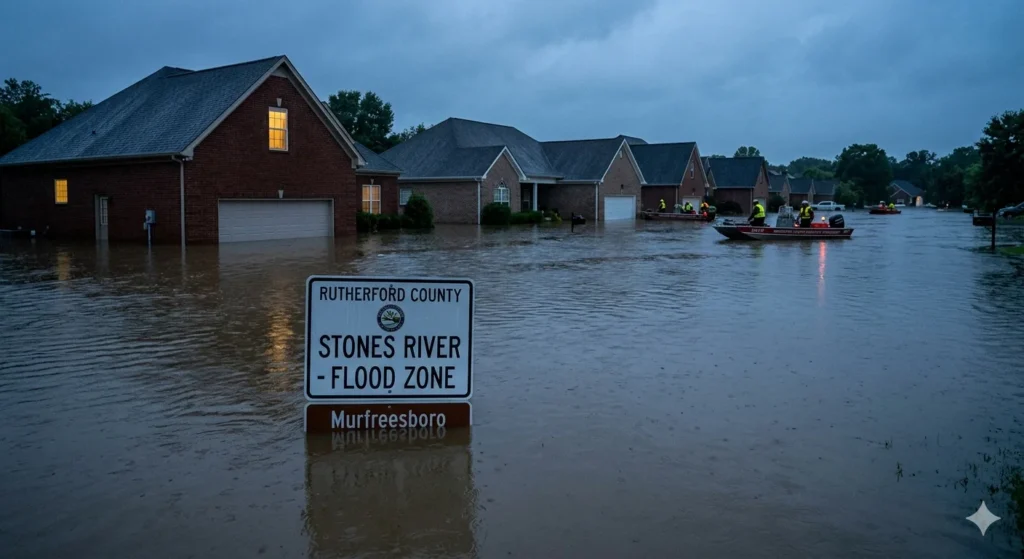
This is the most critical point in this entire guide: standard Tennessee homeowners insurance does not cover Stones River flooding murfreesboro tn . Not one dollar.
Flooding from external water sources — rivers, streams, surface runoff, sinkholes filling with rainwater — is categorically excluded from standard homeowners insurance policies in Tennessee and throughout the United States. The only coverage for this type of damage is NFIP flood insurance, purchased separately through a private insurance agent.
What NFIP flood insurance covers in Murfreesboro:
- Structural damage from flooding (up to $250,000 for the building)
- Electrical systems, HVAC equipment, and built-in appliances
- Flooring, foundation walls, and stairways
- Contents coverage available as a separate policy (up to $100,000)
What NFIP flood insurance does NOT cover:
- Temporary housing during displacement
- Currency, precious metals, and valuable papers
- Property outside the insured building (landscaping, vehicles — covered by auto insurance)
- Damage caused by moisture or mold that the owner failed to prevent
If you live near the West Fork Stones River, Lytle Creek, or in the Todds Lake sinkhole zone and do not have NFIP flood insurance, you are self-insuring against one of Murfreesboro’s most historically documented risks.
What to Do When Stones River Threatens Your Property
Flood events often come with warning — days of heavy rain, weather service flood watches, rising upstream gauge readings. Here is your preparedness and response sequence:
24–48 hours before anticipated flooding:
- Move valuables, documents, and irreplaceable items to upper floors or high shelves
- Move vehicles to higher ground
- Confirm your sump pump is operational and test it by pouring water in the pit
- Seal basement windows and doors with temporary flood barriers if available
- Know your home’s electrical panel location and how to shut off power safely
When flooding begins:
- Do not walk or drive through floodwater. Six inches of moving water can knock a person down; 12 inches can carry a vehicle.
- Turn off electricity at the main breaker if water is rising toward outlets or electrical panels
- Call Rutherford County Emergency Management or 911 if immediate safety is threatened
- Document the rising water with photographs and video for insurance purposes
After floodwater recedes:
- Do not re-enter until the structure is confirmed safe by emergency personnel or structural assessment
- Document all damage thoroughly before touching anything
- Call a professional restoration company immediately — the 24-hour mold clock starts when the water enters
The critical post-flood action most homeowners delay: Waiting until visible water is gone to call for help. When floodwater recedes, it leaves saturated structural materials — subfloor wood, drywall, insulation — that will support mold growth within 24 hours in Rutherford County’s humidity. The water you can see is gone. The moisture trapped inside your walls is not.
How Rutherford Water Restoration Responds to Flood Events
Our team is local to Rutherford County, which means we understand the specific flood dynamics of the Stones River watershed, the clay soil drainage patterns, and the neighborhoods that face recurring risk. When a storm system moves through Middle Tennessee, we pre-position resources for the communities most likely to need emergency response.
For Stones River flood events, our response process includes:
Safety assessment first: Before extraction begins, we assess the water category. Stones River floodwater is Category 3 (black water) — it has contacted ground contaminants, agricultural runoff, and potentially sewage. Category 3 requires full personal protective equipment, biohazard handling protocols, and specific antimicrobial treatment after drying. This is not the same process as a burst pipe cleanup.
Structural drying in flood-saturated conditions: Rutherford County’s clay soil means that even after visible water is removed, the soil against your foundation remains saturated. This creates ongoing vapor pressure against structural materials that standard drying equipment does not account for. Our LGR dehumidifiers and industrial air movers are positioned based on moisture mapping data — not guesswork.
Mold prevention protocol in flood conditions: After a Category 3 flood event, antimicrobial treatment is applied to all affected structural surfaces before drying equipment is deployed. This prevents mold from establishing in the warm, humid conditions that follow Middle Tennessee flood events.
NFIP and homeowners claim documentation: We provide Xactimate documentation that separates covered and non-covered damage — particularly important when a flood event involves both NFIP-covered floodwater damage and homeowners-covered wind or rain damage from the same storm system.
Neighborhoods With Elevated Flood Risk in Murfreesboro
Based on floodplain mapping, watershed data, and our field experience responding to water damage across Rutherford County, these Murfreesboro areas carry elevated flood risk:
West Murfreesboro along West Fork Stones River flooding murfreesboro tn : Properties between Memorial Boulevard and the river, especially older neighborhoods developed before modern floodplain regulations.
Near Bradley Academy and downtown corridor: Historic Murfreesboro’s lower-lying areas near the East Fork confluence.
Eastern Murfreesboro sinkhole area: Neighborhoods in the vicinity of Todds Lake and the karst geology zone east of the interstate.
Lytle Creek drainage basin: Properties in north-central Murfreesboro that drain to Lytle Creek face elevated backyard and foundation flooding risk during high-intensity events.
Newer subdivisions on former agricultural land: Rutherford County’s rapid growth has placed subdivisions on land that previously served as agricultural drainage. The removal of vegetated buffer and addition of impervious surfaces has altered drainage patterns in ways that FEMA maps — often based on older data — may not fully capture.
Frequently Asked Questions
What is the Stones River’s current flood stage in Murfreesboro?
Real-time stream gauge data for the West Fork Stones River flooding Murfreesboro tn is available through the USGS National Water Information System at waterdata.usgs.gov. Flood stage at the Murfreesboro gauge is officially designated — consult the gauge data before and after storm events if you live in a flood-prone area.
How often does Murfreesboro actually flood?
Murfreesboro has experienced major flooding events at least seven times since 1902, with peak discharges exceeding 20,000 cubic feet per second. Smaller, localized flooding events — particularly sinkhole flooding and crawl space intrusion — occur multiple times per decade across the county.
Should I put flood barriers around my Murfreesboro home?
Temporary flood barriers (sandbags, water-filled tubes, door barriers) are appropriate for homes in known flood-prone areas when a flood watch is issued. The City of Murfreesboro’s Public Works department sometimes coordinates sandbagging assistance during elevated flood events. Monitor the city’s emergency communications.
Can I get flood insurance after a flood watch is issued?
No. NFIP flood insurance has a mandatory 30-day waiting period. You cannot purchase flood coverage once a flood watch or warning has been issued and expect it to cover the event. Coverage must be in place well in advance.
Prepare for Stones River Flooding murfreesboro tn Before the Next Storm
Rutherford County’s flood history makes one thing clear: flooding in Murfreesboro is not a question of if — it is a question of when, and whether your family and your property are ready.
If you have experienced water intrusion from a recent storm or flood event, call Rutherford Water Restoration immediately. Our local crew responds to flood events across Murfreesboro, Smyrna, La Vergne, and all of Rutherford County 24 hours a day.
Call (615) 703-6099 — local crew, 45-minute response, 24/7.